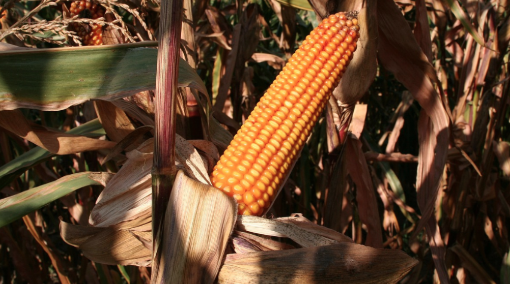
The AI tool according to researchers will aid the production of staple crops like maize across 47 African countries. Copyright: Pexels, (CC BY-NC-ND 2.0)
BY FRANCIS KOKUTSE
An Artificial Intelligence (AI) tool is using satellite remote sensing and machine learning to predict agricultural yields of key crops across Africa, to help mitigate the harms of climate change and other crises, its developers say.
Pan-African research organisation AKADEMIYA2063 says the Africa Agriculture Watch (AAgWa) tool will aid the production of staple foods including, maize, cassava and sorghum, across 47 African countries.
The web-based platform, launched on 27 April, was designed to help tackle some of the impacts of climate change, conflicts and pests on food production.
Racine Ly, director for data management, digital products, and technology at AKADEMIYA2063, says Africa’s agricultural sector faces multiple threats, including supply chain disruptions, as a result of extreme climate events and health crises.
Advertisement
“Relying on conventional analytic techniques alone will not deliver the effective decision-making we need to meet these challenges,” he told SciDev.Net.
The developers say AAgWa will give policy-makers timely access to high-quality, predictive analytics, which are often lacking on the continent.
The crops were selected largely because of their contribution to food security in Africa, as well as high trade value, says Ly.
Advertisement
“Our rural communities will, for example, consume more millet, sorghum, and yam,” he explained.
“Those are not really used in international trade, but they are very critical in our livelihoods, so we rather focus on those because if they suffer from destruction or disruption these communities will also suffer in their livelihoods.”
The tool, developed by an all African expert team, took about two years to develop and involved intensive scientific review and satellite data collection, says Ly.
“Since this is data that researchers and decision-makers most importantly will use to make decisions, we needed to make sure that the data is correct and the predictions are accurate,” he told SciDev.Net.
Advertisement
Informing farmers
Enabling often illiterate rural farmers to use the platform is the next hurdle, says Ly.
“Initially we intend to work with cooperatives that can aggregate the information and then disseminate it… But at the same time, we are trying to see how we can work with extension workers to really pass on the information to the farmers.
“It’s not yet the case, but it’s something that we are working on.”
Advertisement
Jerry Sam, executive director of Ghana-based technology hub Penplusbyte, tells SciDev.Net that AI and satellite data can provide valuable insights and predictions about crop yields.
“By combining multiple data sets, AI models can gain a more comprehensive understanding of the factors such as weather, soil, and historical yield data which influences crop growth and yield potential,” Sam said.
Advertisement
“AI and satellite data can also support precision agriculture practices by providing site-specific recommendations for optimising inputs such as irrigation, fertilisation, and pest control.
“This targeted approach can lead to improved yields and resource efficiency.”
Advertisement
Sam believes AI and satellite data can be used to revolutionise farming in Africa.
“The adoption of AI technologies, particularly in the area of subsistence farming, will not only increase crop yield but also benefit rural folks and provide food security for the nation,” he said.
Advertisement
This piece was produced by SciDev.Net’s Sub-Saharan Africa English desk.
This article was originally published on SciDev.Net. Read the original article.
Add a comment


