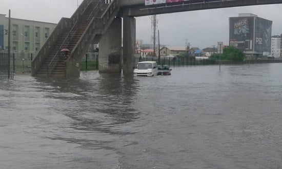
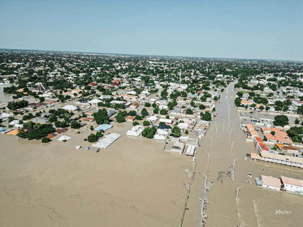

Aerial view of flooded areas of Maiduguri, Borno state, on September 10, 2024
Google has enhanced its Open Buildings 2.5D Temporal Dataset, making it an essential resource for urban planning and disaster management in Nigeria.
In a statement released on Thursday, the company said this dataset will provide crucial insights into the changes in buildings over time, including their estimated heights.
Covering the period from 2016 to 2023, the dataset is vital for analysing population density, facilitating disaster response, and overseeing urban growth.
According to Google, this data offers a comprehensive view of how cities and settlements across Africa and the Global South have evolved, aiding governments, researchers, and humanitarian organisations.
Advertisement
The tech giant also highlighted that its 2.5D Temporal Dataset can assist with flood preparedness, track urban expansion, and support disaster recovery efforts.
With Nigeria facing frequent floods, Google said the data is expected to play a crucial role in mitigating damage.
“With the new Open Buildings 2.5D Temporal Dataset, governments and NGOs can now track how buildings have changed over time and see their heights, allowing for better flood preparedness, urban growth management, and recovery after disasters,” the statement reads.
Advertisement
“In flood-prone areas across Africa, this data is vital in helping local authorities identify which communities need urgent assistance during floods.”
According to the United Nations, by 2050, the world’s urban population is projected to grow by 2.5 billion people, with 90 percent of that increase expected in cities across Africa and Asia.
Google emphasised that accurate data on buildings and infrastructure is necessary to manage the effects of rapid urbanisation.
First launched in 2021 at Google’s AI Research Lab in Accra, Ghana, the Open Buildings project has mapped 1.8 billion buildings across Africa, Asia, Latin America, and the Caribbean — representing about 40 percent of the globe.
Advertisement
Google said this data has been used to enhance services and improve disaster response capabilities.
“In Uganda, the non-profit Sunbird AI used our data to prioritise areas for rural electrification, ensuring that towns and homes most in need received power first,” the statement adds.
“WorldPop, a team from the University of Southampton, has integrated the Open Buildings data into their population estimates.
“These estimates are being used by UN agencies and governments, including in Nigeria, where the data has helped identify areas where children haven’t received routine immunizations.”
Advertisement
Add a comment